Territory Intelligence
Crops, production, market potential and geographic coverage.
- Crops & land use
- Production estimates
- Market potential
- Commercial coverage
- Whitespace
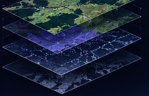

MARKET & AG INTELLIGENCE
Combine agricultural, geographic, market, operational, and customer data to understand territories, identify opportunities, and make better business decisions.
Agricultural organizations rely on fragmented market, geographic, operational, and customer data to make important business decisions.
Optimus Radar connects these information sources to reveal market potential, understand territories, and identify where teams should focus their efforts.
The Optimus Radar Platform
Crops, production, market potential and geographic coverage.
Customer data, external intelligence and operational platforms.
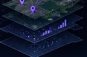
Flexible intelligence, built around your business needs.
Optimus Radar combines relevant data and analytics capabilities based on each organization's objectives and available information.
Business Use Cases
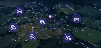
Combine territory intelligence and machinery telemetry to better understand connected fleets, geographic coverage, and potential commercial demand.
Analyze crop locations, estimated production, and geographic signals to understand where grain may be available and help prioritize sourcing territories.
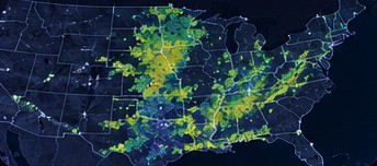
Combine agricultural, environmental, and geospatial indicators to support risk analysis for agricultural credit and lending decisions.
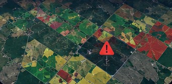
Understand market potential, commercial coverage, whitespace, and territories to help identify and prioritize commercial opportunities where relevant data is available.
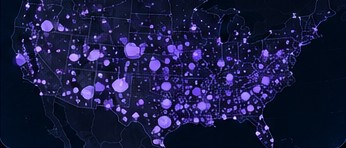
Tell us about your market, territory, or operational challenges and discover how Optimus Radar can help.